Crossroads below Ruardean Hill
Introduction
The photograph on this page of Crossroads below Ruardean Hill by Pauline E as part of the Geograph project.
The Geograph project started in 2005 with the aim of publishing, organising and preserving representative images for every square kilometre of Great Britain, Ireland and the Isle of Man.

There are currently over 7.5m images from over 14,400 individuals and you can help contribute to the project by visiting https://www.geograph.org.uk
Crossroads below Ruardean Hill
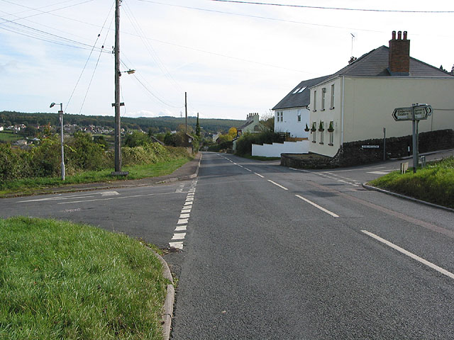
Image: © Pauline E Taken: 18 Oct 2007
The road to the left is Swish Lane; the road to the right is The Hollow which leads up to Ruardean Hill. Straight on down Morse Road from Ruardean to Drybrook.
Images are licensed for reuse under creativecommons.org/licenses/by-sa/2.0
Image Location
Latitude
51.85257
Longitude
-2.526975