Noticeboard at Carpenters Wood
Introduction
The photograph on this page of Noticeboard at Carpenters Wood by David Hillas as part of the Geograph project.
The Geograph project started in 2005 with the aim of publishing, organising and preserving representative images for every square kilometre of Great Britain, Ireland and the Isle of Man.

There are currently over 7.5m images from over 14,400 individuals and you can help contribute to the project by visiting https://www.geograph.org.uk
Noticeboard at Carpenters Wood
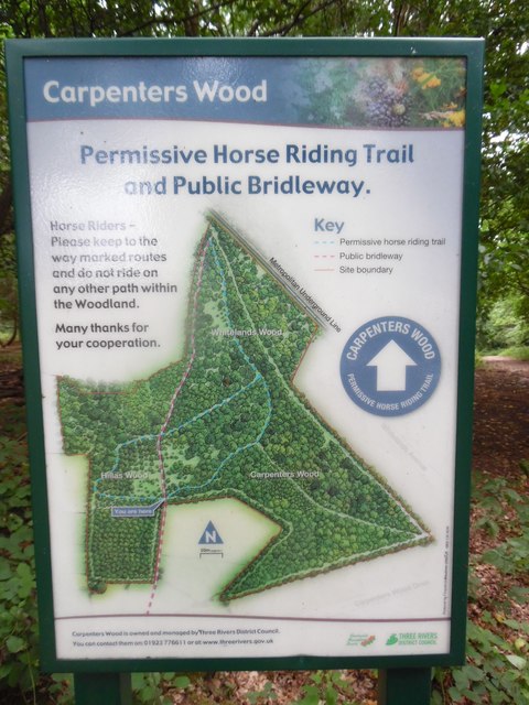
Image: © David Hillas Taken: 11 Aug 2018
This noticeboard on the Chiltern Way between Carpenters Wood and Hillas Wood has a map of the woodland with the heading Carpenters Wood. It also has the following wording: Permissive Horse Riding Trail and Public Bridleway Horse Riders - Please keep to the way marked routes and do not ride on any other path within the Woodland. Many thanks for your cooperation. At the foot of the board, it mentions that Carpenters Wood is owned and managed by Three Rivers District Council.
Images are licensed for reuse under creativecommons.org/licenses/by-sa/2.0
Image Location
Latitude
51.658316
Longitude
-0.534481