Demolition of clubhouse, Oakdale Golf Course
Introduction
The photograph on this page of Demolition of clubhouse, Oakdale Golf Course by M J Roscoe as part of the Geograph project.
The Geograph project started in 2005 with the aim of publishing, organising and preserving representative images for every square kilometre of Great Britain, Ireland and the Isle of Man.

There are currently over 7.5m images from over 14,400 individuals and you can help contribute to the project by visiting https://www.geograph.org.uk
Demolition of clubhouse, Oakdale Golf Course
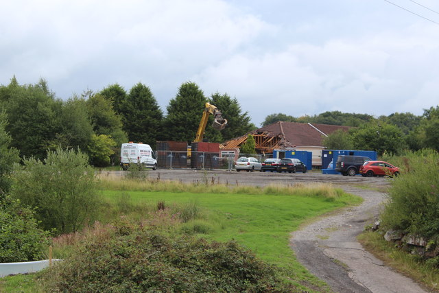
Image: © M J Roscoe Taken: 13 Aug 2018
Start (first day) of the demolition of the clubhouse Image prior to building a housing estate here and on most of the golf course - more loss of green space.
Images are licensed for reuse under creativecommons.org/licenses/by-sa/2.0
Image Location
Latitude
51.676431
Longitude
-3.173134