Halifax FP675 in a sunken lane
Introduction
The photograph on this page of Halifax FP675 in a sunken lane by Humphrey Bolton as part of the Geograph project.
The Geograph project started in 2005 with the aim of publishing, organising and preserving representative images for every square kilometre of Great Britain, Ireland and the Isle of Man.

There are currently over 7.5m images from over 14,400 individuals and you can help contribute to the project by visiting https://www.geograph.org.uk
Halifax FP675 in a sunken lane
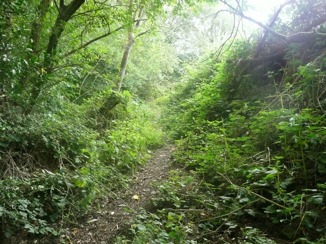
Image: © Humphrey Bolton Taken: 2 Aug 2018
This looks like an old lane, but is not shown prominently or named on old maps.
Images are licensed for reuse under creativecommons.org/licenses/by-sa/2.0
Image Location
Latitude
53.708316
Longitude
-1.880433