Skip Lane at the junction with Woodside Road
Introduction
The photograph on this page of Skip Lane at the junction with Woodside Road by Richard Law as part of the Geograph project.
The Geograph project started in 2005 with the aim of publishing, organising and preserving representative images for every square kilometre of Great Britain, Ireland and the Isle of Man.

There are currently over 7.5m images from over 14,400 individuals and you can help contribute to the project by visiting https://www.geograph.org.uk
Skip Lane at the junction with Woodside Road
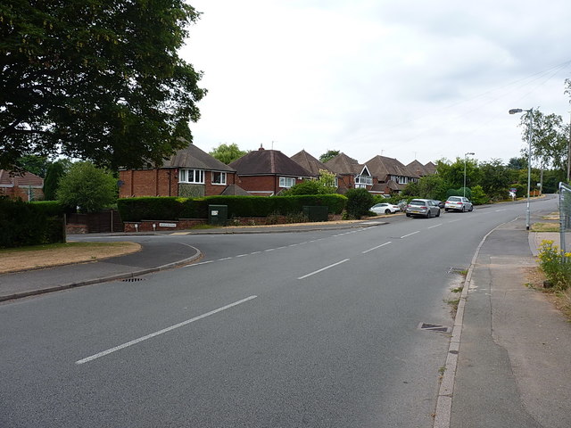
Image: © Richard Law Taken: 18 Jul 2018
Quite where the name Woodside Road comes from is not clear - maps from the 1930s show the area to the west of Skip Lane as predominantly open fields, albeit with a farm or smallholding marked as 'The Cottage' on the left just about here. No obvious woods to be seen in that direction at all. It's the developer's licence, I suppose.
Images are licensed for reuse under creativecommons.org/licenses/by-sa/2.0
Image Location
Latitude
52.567482
Longitude
-1.940648