Stile and steps to footpath to Denefields
Introduction
The photograph on this page of Stile and steps to footpath to Denefields by Tim Hodgins as part of the Geograph project.
The Geograph project started in 2005 with the aim of publishing, organising and preserving representative images for every square kilometre of Great Britain, Ireland and the Isle of Man.

There are currently over 7.5m images from over 14,400 individuals and you can help contribute to the project by visiting https://www.geograph.org.uk
Stile and steps to footpath to Denefields
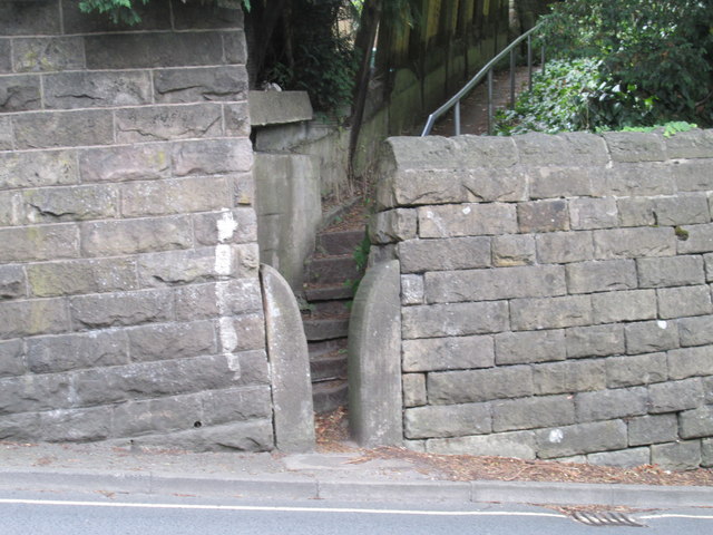
Image: © Tim Hodgins Taken: 9 Aug 2018
The picture is taken from Steep Turnpike in Matlock. As you can see there are six steps up directly through the stile. The path takes you through to Denesfield an open space not far from the middle of town.
Images are licensed for reuse under creativecommons.org/licenses/by-sa/2.0
Image Location
Latitude
53.138819
Longitude
-1.549265