Portslade Village, malthouse
Introduction
The photograph on this page of Portslade Village, malthouse by Mike Faherty as part of the Geograph project.
The Geograph project started in 2005 with the aim of publishing, organising and preserving representative images for every square kilometre of Great Britain, Ireland and the Isle of Man.

There are currently over 7.5m images from over 14,400 individuals and you can help contribute to the project by visiting https://www.geograph.org.uk
Portslade Village, malthouse
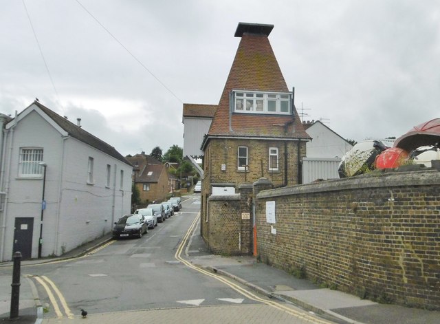
Image: © Mike Faherty Taken: 11 Aug 2018
On Drove Road; former malthouse for Image The building is C19, and listed by Historic England: http://www.imagesofengland.org.uk/Details/Default.aspx?id=365518&mode=adv http://portsladehistory.blogspot.com/2014/10/portslade-brewery.html
Images are licensed for reuse under creativecommons.org/licenses/by-sa/2.0
Image Location
Latitude
50.843729
Longitude
-0.220525