Kilwardby Street, Ashby-de-la-Zouch
Introduction
The photograph on this page of Kilwardby Street, Ashby-de-la-Zouch by Alan Murray-Rust as part of the Geograph project.
The Geograph project started in 2005 with the aim of publishing, organising and preserving representative images for every square kilometre of Great Britain, Ireland and the Isle of Man.

There are currently over 7.5m images from over 14,400 individuals and you can help contribute to the project by visiting https://www.geograph.org.uk
Kilwardby Street, Ashby-de-la-Zouch
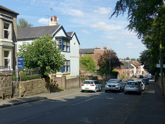
Image: © Alan Murray-Rust Taken: 5 Aug 2018
The main road from Moira, looking towards the town centre. It forms part of the Ivanhoe Way and Cross Britain Way long distance paths. There is a bench mark http://www.geograph.org.uk/photo/5872248 on the corner of the wall under the tree on the left.
Images are licensed for reuse under creativecommons.org/licenses/by-sa/2.0
Image Location
Latitude
52.746141
Longitude
-1.477478