Brook below Belan
Introduction
The photograph on this page of Brook below Belan by Penny Mayes as part of the Geograph project.
The Geograph project started in 2005 with the aim of publishing, organising and preserving representative images for every square kilometre of Great Britain, Ireland and the Isle of Man.

There are currently over 7.5m images from over 14,400 individuals and you can help contribute to the project by visiting https://www.geograph.org.uk
Brook below Belan
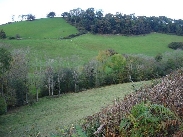
Image: © Penny Mayes Taken: 17 Oct 2007
The line of trees in the foreground mark the course of the brook which runs through this steep sided cwm and feeds into Afon Riw northeast of here. For other shots of this valley see http://www.geograph.org.uk/photo/587216 and http://www.geograph.org.uk/photo/587215 .
Images are licensed for reuse under creativecommons.org/licenses/by-sa/2.0
Image Location
Latitude
52.596802
Longitude
-3.246737