North Street, Langport
Introduction
The photograph on this page of North Street, Langport by Derek Harper as part of the Geograph project.
The Geograph project started in 2005 with the aim of publishing, organising and preserving representative images for every square kilometre of Great Britain, Ireland and the Isle of Man.

There are currently over 7.5m images from over 14,400 individuals and you can help contribute to the project by visiting https://www.geograph.org.uk
North Street, Langport
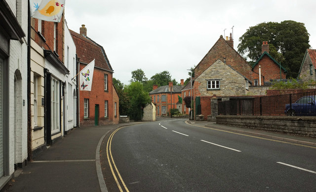
Image: © Derek Harper Taken: 11 Aug 2018
The A378 curves away from the foot of The Hill, with a row of listed buildings on the right. The last house on the left, beyond the butterfly flag, is The Cottage https://www.historicengland.org.uk/listing/the-list/list-entry/1056581 .
Images are licensed for reuse under creativecommons.org/licenses/by-sa/2.0
Image Location
Latitude
51.037982
Longitude
-2.827746