Plane above Hounslow Heath
Introduction
The photograph on this page of Plane above Hounslow Heath by David Howard as part of the Geograph project.
The Geograph project started in 2005 with the aim of publishing, organising and preserving representative images for every square kilometre of Great Britain, Ireland and the Isle of Man.

There are currently over 7.5m images from over 14,400 individuals and you can help contribute to the project by visiting https://www.geograph.org.uk
Plane above Hounslow Heath
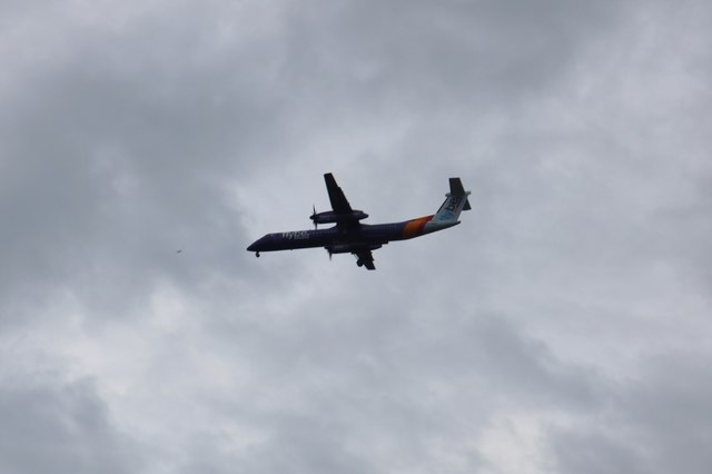
Image: © David Howard Taken: 12 Aug 2018
Hounslow Heath is normally on the incoming flight path to Heathrow and one of the best places for close up photos of planes in London.
Images are licensed for reuse under creativecommons.org/licenses/by-sa/2.0
Image Location
Latitude
51.461678
Longitude
-0.385175