Former towpath of the Thames & Severn Canal
Introduction
The photograph on this page of Former towpath of the Thames & Severn Canal by Bill Boaden as part of the Geograph project.
The Geograph project started in 2005 with the aim of publishing, organising and preserving representative images for every square kilometre of Great Britain, Ireland and the Isle of Man.

There are currently over 7.5m images from over 14,400 individuals and you can help contribute to the project by visiting https://www.geograph.org.uk
Former towpath of the Thames & Severn Canal
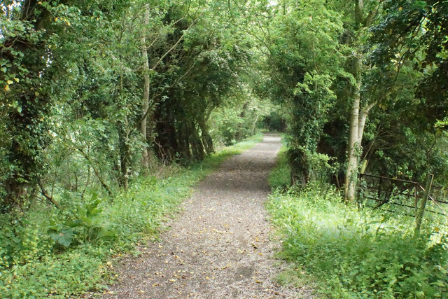
Image: © Bill Boaden Taken: 26 May 2018
A well made up path. Meanwhile the canal is disused and mostly empty behind the trees to the left.
Images are licensed for reuse under creativecommons.org/licenses/by-sa/2.0
Image Location
Latitude
51.677046
Longitude
-1.913902