Trouble at t'Mill
Introduction
The photograph on this page of Trouble at t'Mill by Keith Edkins as part of the Geograph project.
The Geograph project started in 2005 with the aim of publishing, organising and preserving representative images for every square kilometre of Great Britain, Ireland and the Isle of Man.

There are currently over 7.5m images from over 14,400 individuals and you can help contribute to the project by visiting https://www.geograph.org.uk
Trouble at t'Mill
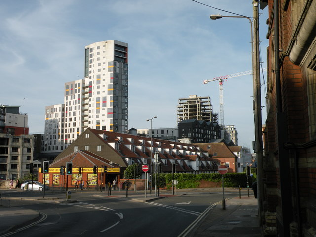
Image: © Keith Edkins Taken: 4 Aug 2018
The Mill apartment block, built on the former site of Cranfield's Mill, suffered financial problems during construction and low occupancy on completion, and then some of the facade (the centre of the narrow face) was blown off in a storm in October 2013. It looks as though it has only been partly tidied up, not yet properly reinstated.
Images are licensed for reuse under creativecommons.org/licenses/by-sa/2.0
Image Location
Latitude
52.052472
Longitude
1.15477