Farmland by the A303
Introduction
The photograph on this page of Farmland by the A303 by Derek Harper as part of the Geograph project.
The Geograph project started in 2005 with the aim of publishing, organising and preserving representative images for every square kilometre of Great Britain, Ireland and the Isle of Man.

There are currently over 7.5m images from over 14,400 individuals and you can help contribute to the project by visiting https://www.geograph.org.uk
Farmland by the A303
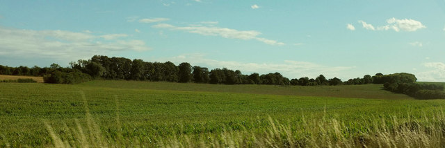
Image: © Derek Harper Taken: 10 Aug 2018
Taken a little west from Image], with fields close to Upper Cranbourne Farm. The main line of trees across the centre is along the former A30.
Images are licensed for reuse under creativecommons.org/licenses/by-sa/2.0
Image Location
Latitude
51.175137
Longitude
-1.299016