Beefeater restaurant, Bourne Hill
Introduction
The photograph on this page of Beefeater restaurant, Bourne Hill by Keith Edkins as part of the Geograph project.
The Geograph project started in 2005 with the aim of publishing, organising and preserving representative images for every square kilometre of Great Britain, Ireland and the Isle of Man.

There are currently over 7.5m images from over 14,400 individuals and you can help contribute to the project by visiting https://www.geograph.org.uk
Beefeater restaurant, Bourne Hill
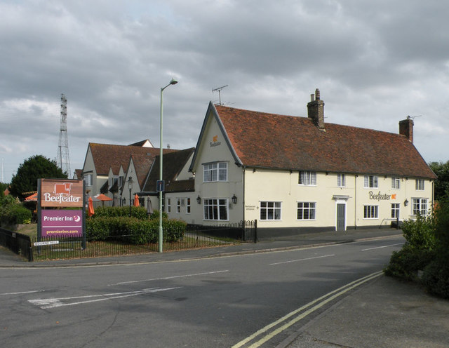
Image: © Keith Edkins Taken: 4 Aug 2018
Seems to have dropped its recent name of The Oyster Reach. Before 1996 it was known as the Ostrich Inn, a name traced back to at least 1820.
Images are licensed for reuse under creativecommons.org/licenses/by-sa/2.0
Image Location
Latitude
52.033082
Longitude
1.15005