SLOW/ARAF on Neville Street, Garndiffaith
Introduction
The photograph on this page of SLOW/ARAF on Neville Street, Garndiffaith by Jaggery as part of the Geograph project.
The Geograph project started in 2005 with the aim of publishing, organising and preserving representative images for every square kilometre of Great Britain, Ireland and the Isle of Man.

There are currently over 7.5m images from over 14,400 individuals and you can help contribute to the project by visiting https://www.geograph.org.uk
SLOW/ARAF on Neville Street, Garndiffaith
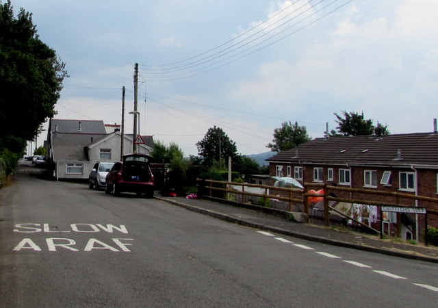
Image: © Jaggery Taken: 16 Jul 2018
On the approach to the end of the Neville Street roadway. The broken white lines are at the Griffiths Way https://www.geograph.org.uk/photo/5871087 junction.
Images are licensed for reuse under creativecommons.org/licenses/by-sa/2.0
Image Location
Latitude
51.734091
Longitude
-3.066887