Playing Fields, Moreton
Introduction
The photograph on this page of Playing Fields, Moreton by Stuart Buchan as part of the Geograph project.
The Geograph project started in 2005 with the aim of publishing, organising and preserving representative images for every square kilometre of Great Britain, Ireland and the Isle of Man.

There are currently over 7.5m images from over 14,400 individuals and you can help contribute to the project by visiting https://www.geograph.org.uk
Playing Fields, Moreton
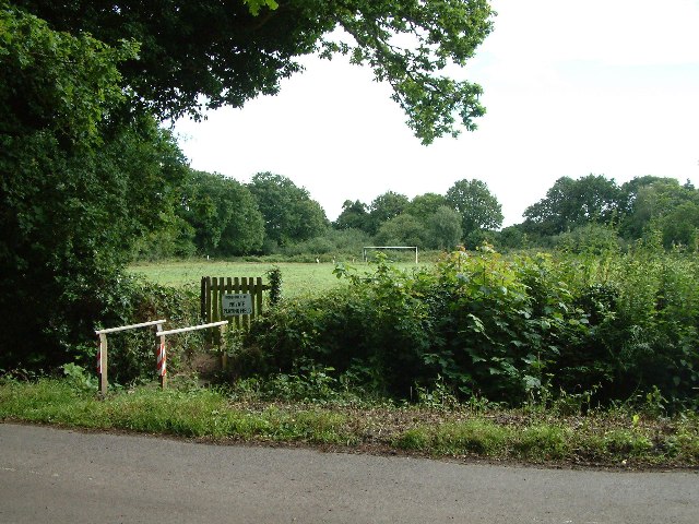
Image: © Stuart Buchan Taken: 6 Jul 2005
Photograph taken from 'The Common' of Moreton playing field. Moreton Community Centre is close by, but objections (reasons not given) were made about that photograph hence this one of the playing field.
Images are licensed for reuse under creativecommons.org/licenses/by-sa/2.0
Image Location


Leaflet Map data © OpenStreetMap
Latitude
50.702974
Longitude
-2.291655