Church of the Ascension, Bitterne Park
Introduction
The photograph on this page of Church of the Ascension, Bitterne Park by Rosemary Oakeshott as part of the Geograph project.
The Geograph project started in 2005 with the aim of publishing, organising and preserving representative images for every square kilometre of Great Britain, Ireland and the Isle of Man.

There are currently over 7.5m images from over 14,400 individuals and you can help contribute to the project by visiting https://www.geograph.org.uk
Church of the Ascension, Bitterne Park
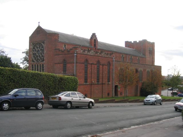
Image: © Rosemary Oakeshott Taken: 17 Oct 2007
Viewed from Thorold Road, a residential road running uphill from the main Cobden Avenue. The tower was originally intended to be higher.
Images are licensed for reuse under creativecommons.org/licenses/by-sa/2.0
Image Location
Latitude
50.923419
Longitude
-1.374085