Canvey Lake, east end
Introduction
The photograph on this page of Canvey Lake, east end by David Kemp as part of the Geograph project.
The Geograph project started in 2005 with the aim of publishing, organising and preserving representative images for every square kilometre of Great Britain, Ireland and the Isle of Man.

There are currently over 7.5m images from over 14,400 individuals and you can help contribute to the project by visiting https://www.geograph.org.uk
Canvey Lake, east end
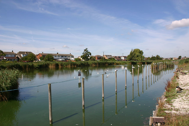
Image: © David Kemp Taken: 11 Aug 2018
Canvey Lake is said to be what remains of an old creek that once flowed through and around the five islets which originally made up what was once Cana Island. The lake is a curved and narrow stretch of brackish (slightly salty) water three-quarters of a mile in length. Over the years it has been a nature reserve.
Images are licensed for reuse under creativecommons.org/licenses/by-sa/2.0
Image Location
Latitude
51.525128
Longitude
0.590025