Stanwardine House - Baschurch
Introduction
The photograph on this page of Stanwardine House - Baschurch by Mike Searle as part of the Geograph project.
The Geograph project started in 2005 with the aim of publishing, organising and preserving representative images for every square kilometre of Great Britain, Ireland and the Isle of Man.

There are currently over 7.5m images from over 14,400 individuals and you can help contribute to the project by visiting https://www.geograph.org.uk
Stanwardine House - Baschurch
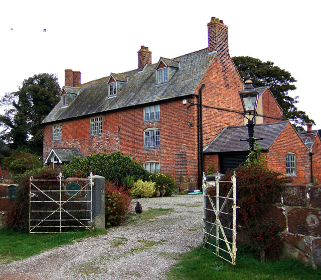
Image: © Mike Searle Taken: 11 Oct 2007
A Grade II Listed farmhouse, probably of the late C17 or early C18, with minor late C18 or early C19 alterations and additions.
Images are licensed for reuse under creativecommons.org/licenses/by-sa/2.0
Image Location


Leaflet Map data © OpenStreetMap
Latitude
52.843851
Longitude
-2.849802