Access land above Mile Oak
Introduction
The photograph on this page of Access land above Mile Oak by Peter Holmes as part of the Geograph project.
The Geograph project started in 2005 with the aim of publishing, organising and preserving representative images for every square kilometre of Great Britain, Ireland and the Isle of Man.

There are currently over 7.5m images from over 14,400 individuals and you can help contribute to the project by visiting https://www.geograph.org.uk
Access land above Mile Oak
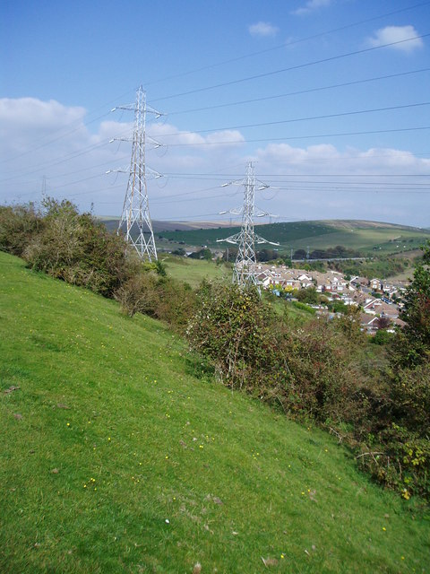
Image: © Peter Holmes Taken: 6 Oct 2007
View from Sussex Border Path over access land with Mile Oak and A27 embankment in the distance.
Images are licensed for reuse under creativecommons.org/licenses/by-sa/2.0
Image Location
Latitude
50.851135
Longitude
-0.23445