The Henty Arms, Ferring
Introduction
The photograph on this page of The Henty Arms, Ferring by Peter Holmes as part of the Geograph project.
The Geograph project started in 2005 with the aim of publishing, organising and preserving representative images for every square kilometre of Great Britain, Ireland and the Isle of Man.

There are currently over 7.5m images from over 14,400 individuals and you can help contribute to the project by visiting https://www.geograph.org.uk
The Henty Arms, Ferring
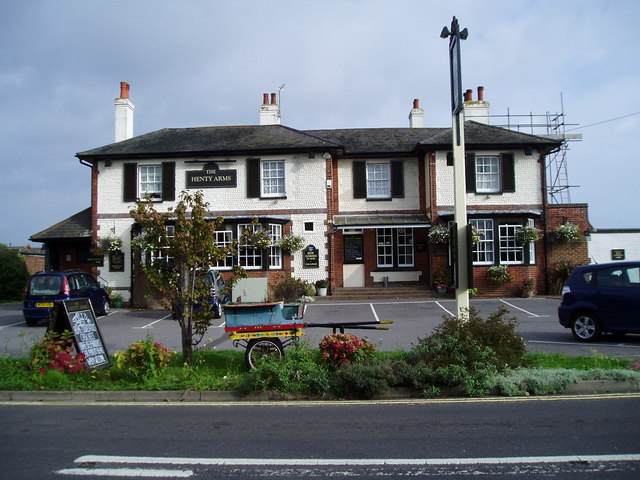
Image: © Peter Holmes Taken: 15 Oct 2007
The Henty Arms at 2 Ferring Lane, previously known as the New Inn, was built for Edwin Henty in the late 1830’s, to replace a nearby older ale house.
Images are licensed for reuse under creativecommons.org/licenses/by-sa/2.0
Image Location
Latitude
50.817359
Longitude
-0.445829