Admiral Drive
Introduction
The photograph on this page of Admiral Drive by John Baker as part of the Geograph project.
The Geograph project started in 2005 with the aim of publishing, organising and preserving representative images for every square kilometre of Great Britain, Ireland and the Isle of Man.

There are currently over 7.5m images from over 14,400 individuals and you can help contribute to the project by visiting https://www.geograph.org.uk
Admiral Drive
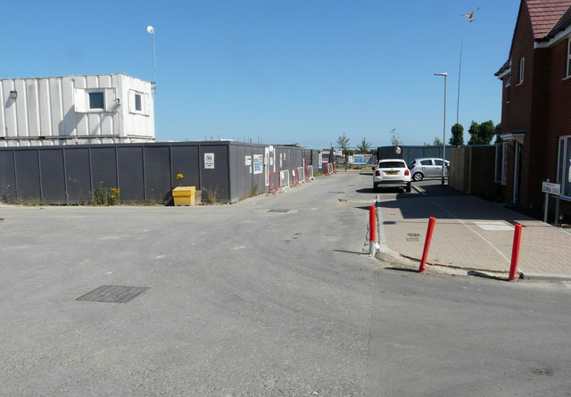
Image: © John Baker Taken: 8 Jul 2018
Admiral Drive is part of the Martello Lakes Housing Development. Planning permission was approved, with conditions, by Folkestone and Hythe District Council under application number Y06/1079/SH for the “outline application for mixed use development comprising residential development (1050 dwellings); employment development (use class B1, 15,000 sq.m); local centre (500 sq.m use classes A1/A2, 500 sq.m use classes A3/A4/A5); community centre /community facilities (1,000 sq.m use class D1); public open space (8.5 HA); structural open space (10.3 HA); retention and alteration of water bodies (retained area 15.5 HA); provision of two new access points to Dymchurch Road; and site restoration including raising of land levels”. The location was given as Nickolls Quarry, Dymchurch Road, Hythe, Kent, CT21 4NE.
Images are licensed for reuse under creativecommons.org/licenses/by-sa/2.0
Image Location
Latitude
51.059071
Longitude
1.044905