Pasture and bridleway north-east of Crick in Northamptonshire
Introduction
The photograph on this page of Pasture and bridleway north-east of Crick in Northamptonshire by Roger D Kidd as part of the Geograph project.
The Geograph project started in 2005 with the aim of publishing, organising and preserving representative images for every square kilometre of Great Britain, Ireland and the Isle of Man.

There are currently over 7.5m images from over 14,400 individuals and you can help contribute to the project by visiting https://www.geograph.org.uk
Pasture and bridleway north-east of Crick in Northamptonshire
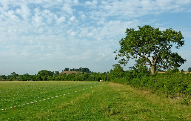
Image: © Roger D Kidd Taken: 22 Aug 2013
The bridleway crosses fields between the A428 roundabout east of Crick and Yelvertoft village. On the skyline left of centre is Crack's Hill.
Images are licensed for reuse under creativecommons.org/licenses/by-sa/2.0
Image Location
Latitude
52.350058
Longitude
-1.129077