Parallel lines, Wath
Introduction
The photograph on this page of Parallel lines, Wath by Gordon Hatton as part of the Geograph project.
The Geograph project started in 2005 with the aim of publishing, organising and preserving representative images for every square kilometre of Great Britain, Ireland and the Isle of Man.

There are currently over 7.5m images from over 14,400 individuals and you can help contribute to the project by visiting https://www.geograph.org.uk
Parallel lines, Wath
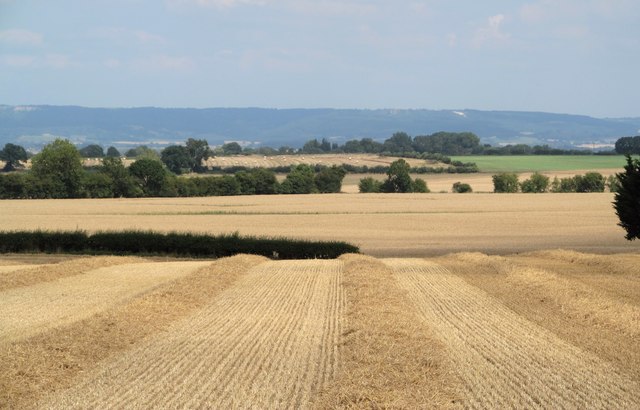
Image: © Gordon Hatton Taken: 7 Aug 2018
A recently harvested cereal field with strips of straw awaiting collection. The view is eastwards towards the distant Whitestone Cliff [left] and the Kilburn white horse [right].
Images are licensed for reuse under creativecommons.org/licenses/by-sa/2.0
Image Location


Leaflet Map data © OpenStreetMap
Latitude
54.195217
Longitude
-1.506128