Footpath along lane at Coppy
Introduction
The photograph on this page of Footpath along lane at Coppy by Trevor Littlewood as part of the Geograph project.
The Geograph project started in 2005 with the aim of publishing, organising and preserving representative images for every square kilometre of Great Britain, Ireland and the Isle of Man.

There are currently over 7.5m images from over 14,400 individuals and you can help contribute to the project by visiting https://www.geograph.org.uk
Footpath along lane at Coppy
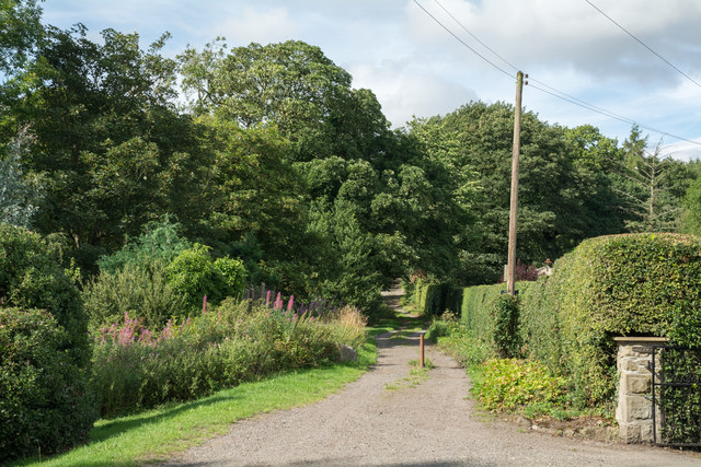
Image: © Trevor Littlewood Taken: 7 Aug 2018
Coppy seems to be the name of a small settlement with a number of good-sized houses at Beamish, just north of the open air museum. The route ahead is a public footpath and is signed as being a way to the Causey Arch.
Images are licensed for reuse under creativecommons.org/licenses/by-sa/2.0
Image Location
Latitude
54.890288
Longitude
-1.671493