Bluewater House
Introduction
The photograph on this page of Bluewater House by Derek Harper as part of the Geograph project.
The Geograph project started in 2005 with the aim of publishing, organising and preserving representative images for every square kilometre of Great Britain, Ireland and the Isle of Man.

There are currently over 7.5m images from over 14,400 individuals and you can help contribute to the project by visiting https://www.geograph.org.uk
Bluewater House
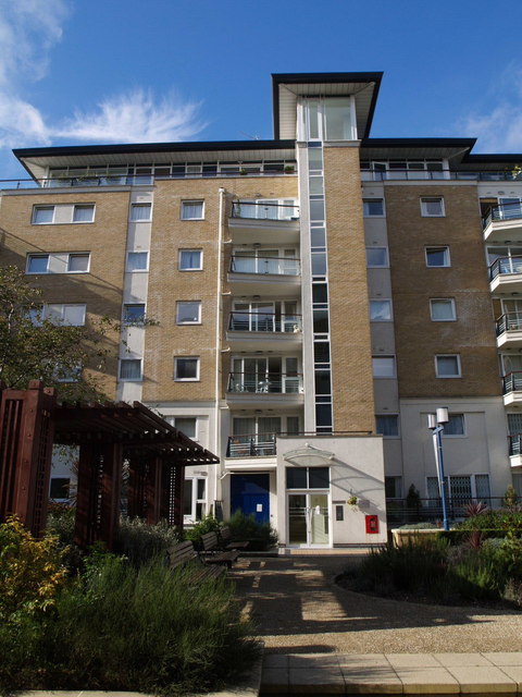
Image: © Derek Harper Taken: 13 Oct 2007
Another view of Image, one of the apartments blocks between Smugglers Way and the Thames. The blocks are set 30 metres apart, with tasteful gardens in between.
Images are licensed for reuse under creativecommons.org/licenses/by-sa/2.0
Image Location


Leaflet Map data © OpenStreetMap
Latitude
51.462875
Longitude
-0.190069