The old A249 at Nether Toes
Introduction
The photograph on this page of The old A249 at Nether Toes by Stefan Czapski as part of the Geograph project.
The Geograph project started in 2005 with the aim of publishing, organising and preserving representative images for every square kilometre of Great Britain, Ireland and the Isle of Man.

There are currently over 7.5m images from over 14,400 individuals and you can help contribute to the project by visiting https://www.geograph.org.uk
The old A249 at Nether Toes
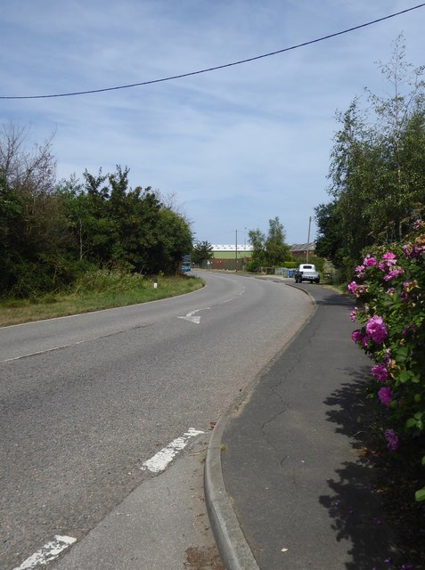
Image: © Stefan Czapski Taken: 4 Aug 2018
Until the 1990s this was the main road to the port of Sheerness - which meant a stream of HGVs rolled through the villages of Bobbing and Iwade. I used to drive through pretty frequently, without ever noticing the name 'Nether Toes' on the map. A local landmark (up ahead, round the bend) was a filling station called Point Pheasant - long since gone, robbed of its passing trade. Richard Dorrell identifies the industrial site by the bend of the road as the FloPlast factory: http://www.geograph.org.uk/photo/742702
Images are licensed for reuse under creativecommons.org/licenses/by-sa/2.0
Image Location


Leaflet Map data © OpenStreetMap
Latitude
51.362606
Longitude
0.725081