The Whiteadder Water near Edrington Castle Mill ford
Introduction
The photograph on this page of The Whiteadder Water near Edrington Castle Mill ford by James T M Towill as part of the Geograph project.
The Geograph project started in 2005 with the aim of publishing, organising and preserving representative images for every square kilometre of Great Britain, Ireland and the Isle of Man.

There are currently over 7.5m images from over 14,400 individuals and you can help contribute to the project by visiting https://www.geograph.org.uk
The Whiteadder Water near Edrington Castle Mill ford
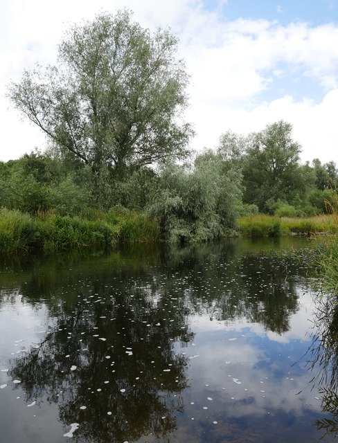
Image: © James T M Towill Taken: 3 Aug 2018
The ford is to the left of view and, even after many weeks of little rainfall, was still in the region of 3' deep.
Images are licensed for reuse under creativecommons.org/licenses/by-sa/2.0
Image Location


Leaflet Map data © OpenStreetMap
Latitude
55.774879
Longitude
-2.100243