Borden: The Street, seen from the churchyard
Introduction
The photograph on this page of Borden: The Street, seen from the churchyard by Stefan Czapski as part of the Geograph project.
The Geograph project started in 2005 with the aim of publishing, organising and preserving representative images for every square kilometre of Great Britain, Ireland and the Isle of Man.

There are currently over 7.5m images from over 14,400 individuals and you can help contribute to the project by visiting https://www.geograph.org.uk
Borden: The Street, seen from the churchyard
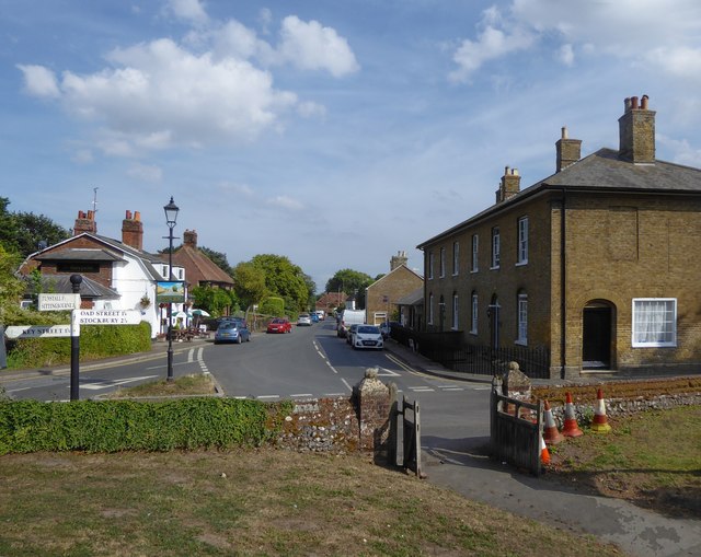
Image: © Stefan Czapski Taken: 4 Aug 2018
The building on the right (Forge House and Barrow House) has an urban bulk to it that seems at odds with the village context. On the left, the pub is the Maypole - much more in keeping with the scale of the old village centre. The village has expanded (in various directions) in the last thirty years or so, but I saw posters in support of a campaign to resist further development. Notice the traffic cones - witches' hats - often a feature of village churchyards these days.
Images are licensed for reuse under creativecommons.org/licenses/by-sa/2.0
Image Location
Latitude
51.334177
Longitude
0.702145