St Mark's Road, looking westwards
Introduction
The photograph on this page of St Mark's Road, looking westwards by Christine Johnstone as part of the Geograph project.
The Geograph project started in 2005 with the aim of publishing, organising and preserving representative images for every square kilometre of Great Britain, Ireland and the Isle of Man.

There are currently over 7.5m images from over 14,400 individuals and you can help contribute to the project by visiting https://www.geograph.org.uk
St Mark's Road, looking westwards
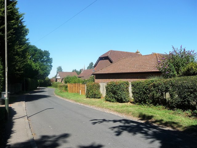
Image: © Christine Johnstone Taken: 2 Aug 2018
The right / north side of the road is in Kent, the left / south side in East Sussex. The houses are on Barnfield, in the Moat Lane estate.
Images are licensed for reuse under creativecommons.org/licenses/by-sa/2.0
Image Location
Latitude
51.114136
Longitude
0.254765