Old Timbers
Introduction
The photograph on this page of Old Timbers by Chris Thomas-Atkin as part of the Geograph project.
The Geograph project started in 2005 with the aim of publishing, organising and preserving representative images for every square kilometre of Great Britain, Ireland and the Isle of Man.

There are currently over 7.5m images from over 14,400 individuals and you can help contribute to the project by visiting https://www.geograph.org.uk
Old Timbers
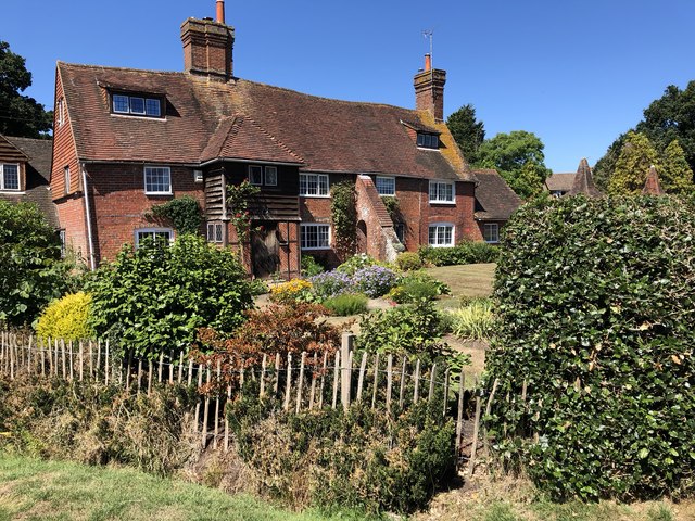
Image: © Chris Thomas-Atkin Taken: 5 Aug 2018
The property nowadays known as Old Timbers on Westhill Drive. This was previously Fowles Farmhouse built around 1588.
Images are licensed for reuse under creativecommons.org/licenses/by-sa/2.0
Image Location
Latitude
50.956789
Longitude
-0.146296