Ordnance Survey Cut Mark
Introduction
The photograph on this page of Ordnance Survey Cut Mark by Peter Wood as part of the Geograph project.
The Geograph project started in 2005 with the aim of publishing, organising and preserving representative images for every square kilometre of Great Britain, Ireland and the Isle of Man.

There are currently over 7.5m images from over 14,400 individuals and you can help contribute to the project by visiting https://www.geograph.org.uk
Ordnance Survey Cut Mark
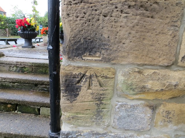
Image: © Peter Wood Taken: 3 Aug 2018
This mark can be found on the wall of The Bay Horse PH in Rainton. The benchmark has been calculated as being 35.196 metres above sea level and was first used in 1908. For more detail see : https://www.bench-marks.org.uk/bm49486
Images are licensed for reuse under creativecommons.org/licenses/by-sa/2.0
Image Location
Latitude
54.170713
Longitude
-1.435451