B6298 north of Crook
Introduction
The photograph on this page of B6298 north of Crook by Andrew Curtis as part of the Geograph project.
The Geograph project started in 2005 with the aim of publishing, organising and preserving representative images for every square kilometre of Great Britain, Ireland and the Isle of Man.

There are currently over 7.5m images from over 14,400 individuals and you can help contribute to the project by visiting https://www.geograph.org.uk
B6298 north of Crook
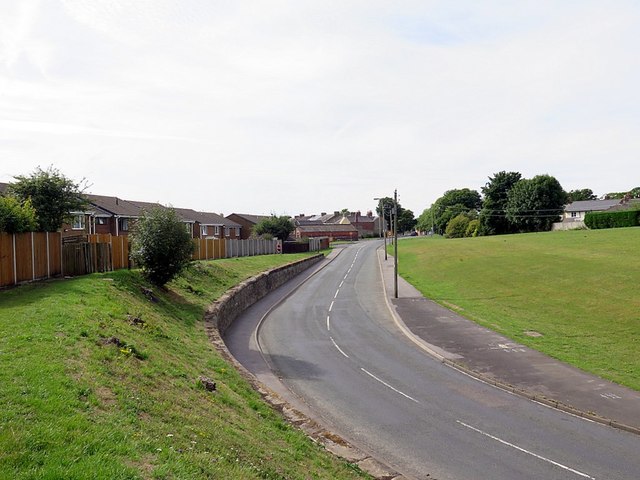
Image: © Andrew Curtis Taken: 4 Aug 2018
The Bishop Auckland & Weardale Railway used to run parallel with the road where there is now grass. Crook Station was located further down beyond where the old road joined with the end of Hope Street Image
Images are licensed for reuse under creativecommons.org/licenses/by-sa/2.0
Image Location
Latitude
54.718828
Longitude
-1.74755