Earls Colne Defibrillator
Introduction
The photograph on this page of Earls Colne Defibrillator by Geographer as part of the Geograph project.
The Geograph project started in 2005 with the aim of publishing, organising and preserving representative images for every square kilometre of Great Britain, Ireland and the Isle of Man.

There are currently over 7.5m images from over 14,400 individuals and you can help contribute to the project by visiting https://www.geograph.org.uk
Earls Colne Defibrillator
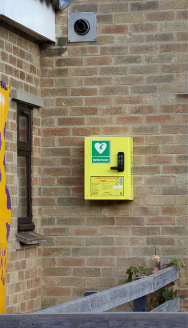
Image: © Geographer Taken: 28 Jul 2018
On Earls Colne Primary School Nursery off Park Lane
Images are licensed for reuse under creativecommons.org/licenses/by-sa/2.0
Image Location
Latitude
51.926119
Longitude
0.704301