Fir Tree Drive, Quakers Yard
Introduction
The photograph on this page of Fir Tree Drive, Quakers Yard by Jaggery as part of the Geograph project.
The Geograph project started in 2005 with the aim of publishing, organising and preserving representative images for every square kilometre of Great Britain, Ireland and the Isle of Man.

There are currently over 7.5m images from over 14,400 individuals and you can help contribute to the project by visiting https://www.geograph.org.uk
Fir Tree Drive, Quakers Yard
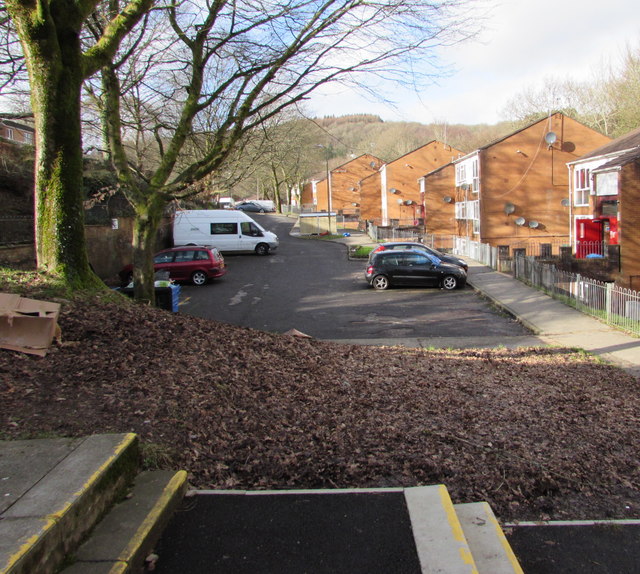
Image: © Jaggery Taken: 30 Jan 2016
The lower part of Fir Tree Drive viewed from these steps. https://www.geograph.org.uk/photo/5864651
Images are licensed for reuse under creativecommons.org/licenses/by-sa/2.0
Image Location
Latitude
51.66112
Longitude
-3.311535