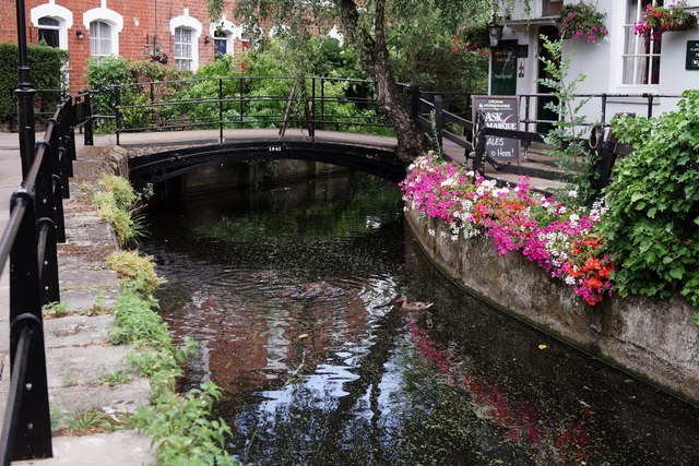
New River
Introduction
The photograph on this page of New River by Peter Trimming as part of the Geograph project.
The Geograph project started in 2005 with the aim of publishing, organising and preserving representative images for every square kilometre of Great Britain, Ireland and the Isle of Man.
There are currently over 7.5m images from over 14,400 individuals and you can help contribute to the project by visiting https://www.geograph.org.uk

Image: © Peter Trimming Taken: 31 Jul 2018
Seen 'flowing' past the Crown & Horseshoes, Enfield. After a showery day, shortly prior to my visit, a flow could only just be detected. The New River is an artificial waterway, opened in 1613 to supply London with fresh drinking water taken from the River Lea and from Chadwell Springs and, originally, Amwell Springs, as well as other springs and wells along its course.

