View across the A1067
Introduction
The photograph on this page of View across the A1067 by Evelyn Simak as part of the Geograph project.
The Geograph project started in 2005 with the aim of publishing, organising and preserving representative images for every square kilometre of Great Britain, Ireland and the Isle of Man.

There are currently over 7.5m images from over 14,400 individuals and you can help contribute to the project by visiting https://www.geograph.org.uk
View across the A1067
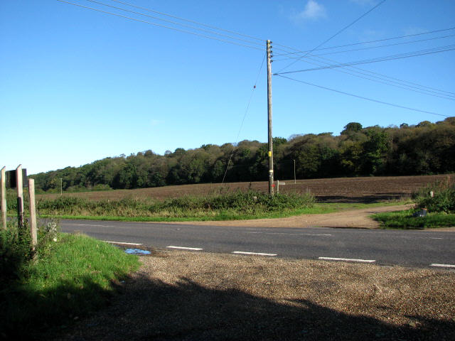
Image: © Evelyn Simak Taken: 17 Oct 2007
Here the access road to Old Hall farm meets the A1067 (Fakenham Road). The track/public footpath that can be seen across the A1067 leads to the Attlebridge Hills.
Images are licensed for reuse under creativecommons.org/licenses/by-sa/2.0
Image Location
Latitude
52.697396
Longitude
1.165133