Church name board and War Grave sign
Introduction
The photograph on this page of Church name board and War Grave sign by Bob Harvey as part of the Geograph project.
The Geograph project started in 2005 with the aim of publishing, organising and preserving representative images for every square kilometre of Great Britain, Ireland and the Isle of Man.

There are currently over 7.5m images from over 14,400 individuals and you can help contribute to the project by visiting https://www.geograph.org.uk
Church name board and War Grave sign
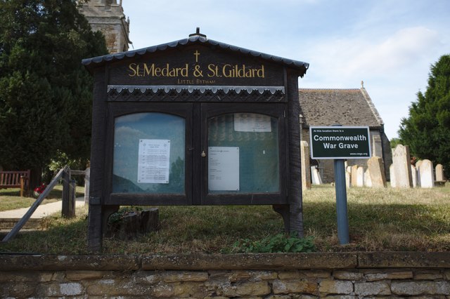
Image: © Bob Harvey Taken: 4 Aug 2018
The sign says "at this location there is a Commonwealth War Grave", but I was unable to locate the reason why. But the web is a wonderful thing. The web address given is difficult to use, but eventually yields up https://www.cwgc.org/find/find-war-dead/results/?cemetery=LITTLE%20BYTHAM%20(ST.%20MEDARD)%20CHURCHYARD the listing for Sapper William Pearson who died in 1917. He was born in Little Bytham, and by the time of his death his parents had moved to Stamford, but wanted their son interred in their village.
Images are licensed for reuse under creativecommons.org/licenses/by-sa/2.0
Image Location
Latitude
52.750223
Longitude
-0.500631