View from Aberamffra Hill
Introduction
The photograph on this page of View from Aberamffra Hill by David Bowen as part of the Geograph project.
The Geograph project started in 2005 with the aim of publishing, organising and preserving representative images for every square kilometre of Great Britain, Ireland and the Isle of Man.

There are currently over 7.5m images from over 14,400 individuals and you can help contribute to the project by visiting https://www.geograph.org.uk
View from Aberamffra Hill
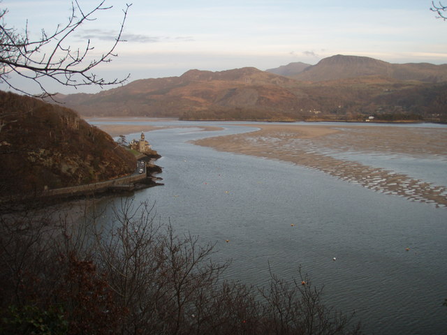
Image: © David Bowen Taken: 10 Mar 2007
Looking from the hillside above Porth Aberamffra (Barmouth). The A496 is directly below. To the left of centre is the Clock House, beyond is the Mawddach estuary and the mountains rising along the view to Cader Idris. Picture 5.30 10th March 2007.
Images are licensed for reuse under creativecommons.org/licenses/by-sa/2.0
Image Location


Leaflet Map data © OpenStreetMap
Latitude
52.720576
Longitude
-4.044789