Looking down Blind Lane, Oxton
Introduction
The photograph on this page of Looking down Blind Lane, Oxton by Neil Theasby as part of the Geograph project.
The Geograph project started in 2005 with the aim of publishing, organising and preserving representative images for every square kilometre of Great Britain, Ireland and the Isle of Man.

There are currently over 7.5m images from over 14,400 individuals and you can help contribute to the project by visiting https://www.geograph.org.uk
Looking down Blind Lane, Oxton
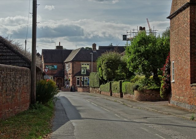
Image: © Neil Theasby Taken: 4 Aug 2018
To "The Old Green Dragon" - an award winning village pub.
Images are licensed for reuse under creativecommons.org/licenses/by-sa/2.0
Image Location
Latitude
53.058484
Longitude
-1.061146