Barmouth bridge and Penrallt House from Aberamfra Hill.
Introduction
The photograph on this page of Barmouth bridge and Penrallt House from Aberamfra Hill. by David Bowen as part of the Geograph project.
The Geograph project started in 2005 with the aim of publishing, organising and preserving representative images for every square kilometre of Great Britain, Ireland and the Isle of Man.

There are currently over 7.5m images from over 14,400 individuals and you can help contribute to the project by visiting https://www.geograph.org.uk
Barmouth bridge and Penrallt House from Aberamfra Hill.
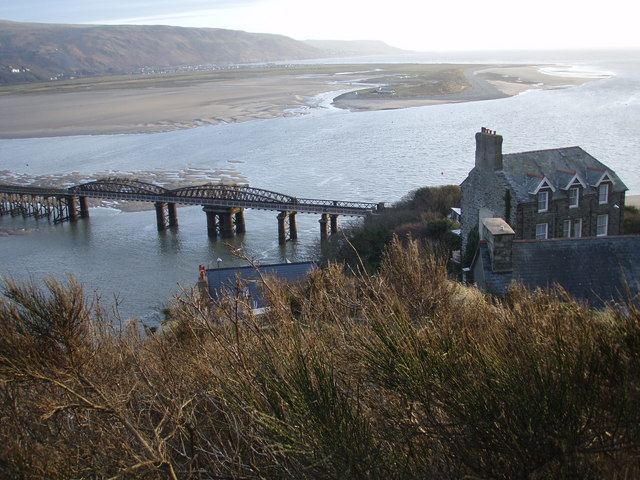
Image: © David Bowen Taken: 10 Mar 2007
Views of the bridge, and Penrallt House from the hill above Borthwen Terrace. Fairbourne is in the middle ground and Llwyngwril is in the distance. Picture 4pm 10th March 2007.
Images are licensed for reuse under creativecommons.org/licenses/by-sa/2.0
Image Location
Latitude
52.720216
Longitude
-4.044772