Crispin Close
Introduction
The photograph on this page of Crispin Close by John Baker as part of the Geograph project.
The Geograph project started in 2005 with the aim of publishing, organising and preserving representative images for every square kilometre of Great Britain, Ireland and the Isle of Man.

There are currently over 7.5m images from over 14,400 individuals and you can help contribute to the project by visiting https://www.geograph.org.uk
Crispin Close
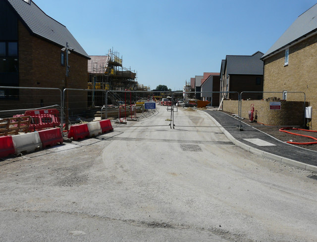
Image: © John Baker Taken: 8 Jul 2018
Planning permission was approved, with conditions, by Folkestone and Hythe District Council under application number Y15/0164/SH for an “outline application for development of up to 110 dwellings with supporting infrastructure”. The development has been named Mulberry Place.
Images are licensed for reuse under creativecommons.org/licenses/by-sa/2.0
Image Location
Latitude
50.991777
Longitude
0.943722