Tame Valley
Introduction
The photograph on this page of Tame Valley by Keith Williamson as part of the Geograph project.
The Geograph project started in 2005 with the aim of publishing, organising and preserving representative images for every square kilometre of Great Britain, Ireland and the Isle of Man.

There are currently over 7.5m images from over 14,400 individuals and you can help contribute to the project by visiting https://www.geograph.org.uk
Tame Valley
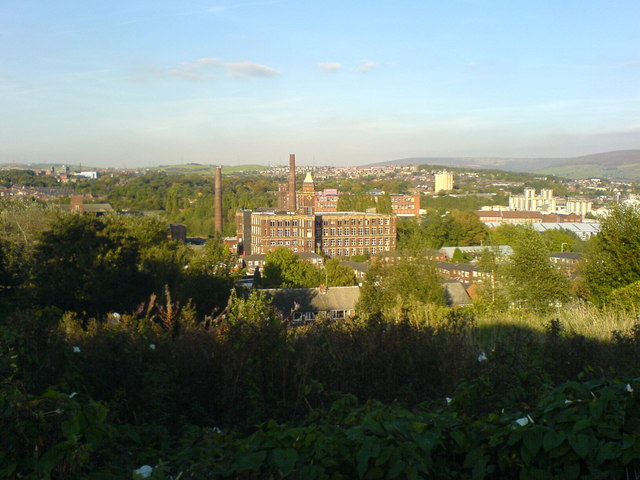
Image: © Keith Williamson Taken: 5 Oct 2007
Looking roughly northeast and out of this gridsquare from above an area of open space known as Sandhills, close to Dukinfield Cemetery. Tower Mill, a former cotton mill, is prominent in the centre. This mill is located on Park Road, Dukinfield on the banks of the River Tame.
Images are licensed for reuse under creativecommons.org/licenses/by-sa/2.0
Image Location
Latitude
53.478429
Longitude
-2.078764