Britannia Walk, Market Harborough
Introduction
The photograph on this page of Britannia Walk, Market Harborough by Malc McDonald as part of the Geograph project.
The Geograph project started in 2005 with the aim of publishing, organising and preserving representative images for every square kilometre of Great Britain, Ireland and the Isle of Man.

There are currently over 7.5m images from over 14,400 individuals and you can help contribute to the project by visiting https://www.geograph.org.uk
Britannia Walk, Market Harborough
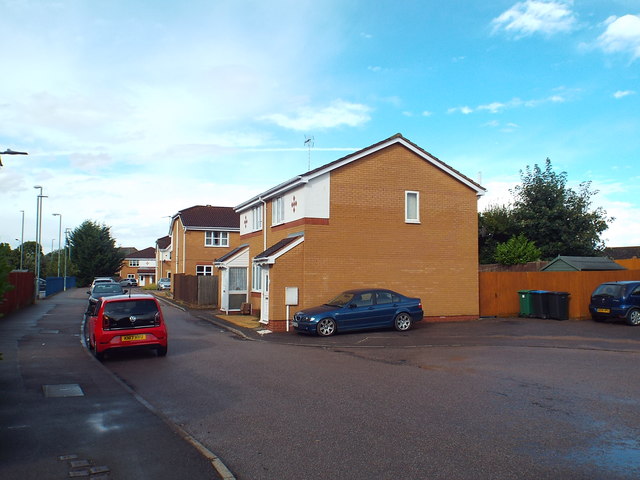
Image: © Malc McDonald Taken: 28 Jul 2018
Britannia Walk in Market Harborough is built on the site of a former railway line, which ran from Market Harborough to Northampton. This short residential cul-de-sac forms part of National Cycle Network route 6.
Images are licensed for reuse under creativecommons.org/licenses/by-sa/2.0
Image Location
Latitude
52.475057
Longitude
-0.915484