Northgate, Holywell Green, Stainland
Introduction
The photograph on this page of Northgate, Holywell Green, Stainland by Humphrey Bolton as part of the Geograph project.
The Geograph project started in 2005 with the aim of publishing, organising and preserving representative images for every square kilometre of Great Britain, Ireland and the Isle of Man.

There are currently over 7.5m images from over 14,400 individuals and you can help contribute to the project by visiting https://www.geograph.org.uk
Northgate, Holywell Green, Stainland
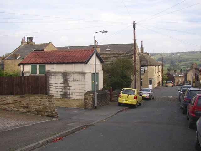
Image: © Humphrey Bolton Taken: 15 Oct 2007
The road name sounds like an old through route, but it is a late 19C cul-de-sac. Stainland Road goes across beyond the parked cars. The electricity sub-station (with the red roof) is of unusual design and materials.
Images are licensed for reuse under creativecommons.org/licenses/by-sa/2.0
Image Location


Leaflet Map data © OpenStreetMap
Latitude
53.674597
Longitude
-1.868267