Barley: White Posts
Introduction
The photograph on this page of Barley: White Posts by John Sutton as part of the Geograph project.
The Geograph project started in 2005 with the aim of publishing, organising and preserving representative images for every square kilometre of Great Britain, Ireland and the Isle of Man.

There are currently over 7.5m images from over 14,400 individuals and you can help contribute to the project by visiting https://www.geograph.org.uk
Barley: White Posts
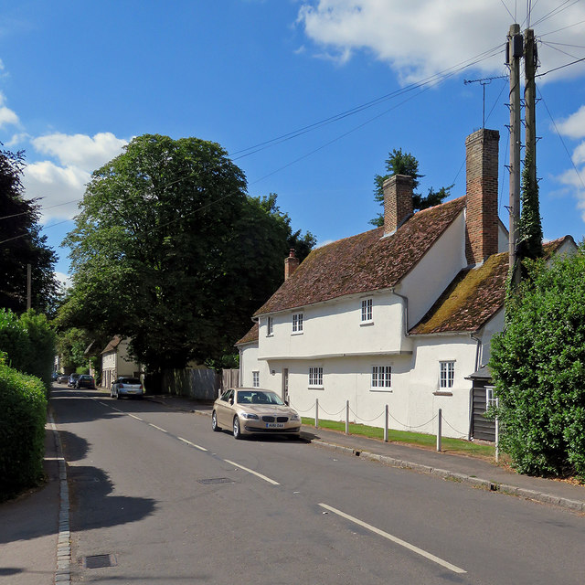
Image: © John Sutton Taken: 1 Aug 2018
One of many listed buildings on the west side of High Street. The Grade II listing text begins "Mid to late C16 with C18 additions. Restored 1976. Timber frame, roughcast. Steeply-pitched tiled roof. Four bays, two storeys with one-bay one-storey additions at both ends. Continuous jetty to front on original block".
Images are licensed for reuse under creativecommons.org/licenses/by-sa/2.0
Image Location
Latitude
52.028802
Longitude
0.037944