Plantation Entrance
Introduction
The photograph on this page of Plantation Entrance by Andrew Wood as part of the Geograph project.
The Geograph project started in 2005 with the aim of publishing, organising and preserving representative images for every square kilometre of Great Britain, Ireland and the Isle of Man.

There are currently over 7.5m images from over 14,400 individuals and you can help contribute to the project by visiting https://www.geograph.org.uk
Plantation Entrance
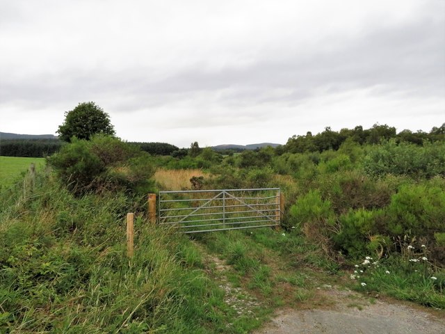
Image: © Andrew Wood Taken: 1 Aug 2018
A gate giving access to a small tree plantation in what would have been wetland near Upper Sauchen.
Images are licensed for reuse under creativecommons.org/licenses/by-sa/2.0
Image Location
Latitude
57.177518
Longitude
-2.537034