Frog Island
Introduction
The photograph on this page of Frog Island by Stephen McKay as part of the Geograph project.
The Geograph project started in 2005 with the aim of publishing, organising and preserving representative images for every square kilometre of Great Britain, Ireland and the Isle of Man.

There are currently over 7.5m images from over 14,400 individuals and you can help contribute to the project by visiting https://www.geograph.org.uk
Frog Island
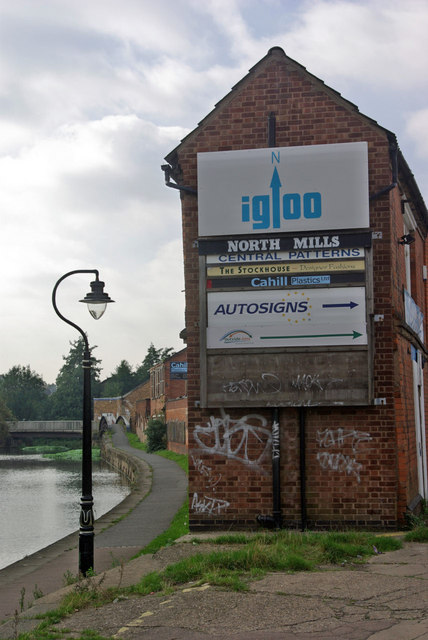
Image: © Stephen McKay Taken: 14 Oct 2007
Frog Island is the district sandwiched between the Grand Union Canal and the River Soar north west of Leicester city centre. The canalside buildings are rather run down, but the area is atmospheric.
Images are licensed for reuse under creativecommons.org/licenses/by-sa/2.0
Image Location
Latitude
52.640559
Longitude
-1.145192