Hemel Hempstead: B487 Queensway
Introduction
The photograph on this page of Hemel Hempstead: B487 Queensway by Nigel Cox as part of the Geograph project.
The Geograph project started in 2005 with the aim of publishing, organising and preserving representative images for every square kilometre of Great Britain, Ireland and the Isle of Man.

There are currently over 7.5m images from over 14,400 individuals and you can help contribute to the project by visiting https://www.geograph.org.uk
Hemel Hempstead: B487 Queensway
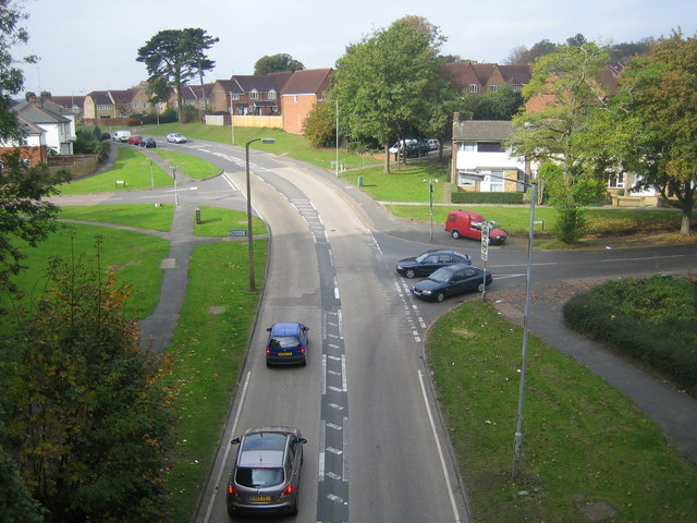
Image: © Nigel Cox Taken: 14 Oct 2007
Viewed from the Nicky Line railway bridge, with St Pauls Road to the left and Cattsdell to the right.
Images are licensed for reuse under creativecommons.org/licenses/by-sa/2.0
Image Location
Latitude
51.758827
Longitude
-0.462694